 vesseltracker.com
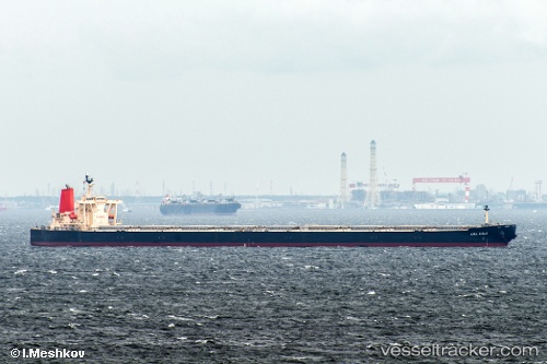
Vessel 563122200 IMO: 9278636, MMSI: 563122200
UTC, -33.50048, 34.30213, course: 261, speed: 10
UTC, -33.53718, 33.91922, course: 262, speed: 10.8
2026-02-15 19:44:41 UTC, -33.56285, 33.58832, course: 262, speed: 10.3
Live AIS position:
UTC. 228 nm SE of Port Edward),
updated 2026-02-15 19:44:41 UTC.
Find the position of the vessel 563122200 on the map. The latter are known coordinates and path.
marine traffic ship tracker show on live map
The current position of vessel 563122200 is -33.56285 lat / 33.58832 lng. Updated: 2026-02-15 19:44:41 UTCDetails:
Last coordinates of the vessel:
UTC, -33.46518, 34.82395, course: 261, speed: 9UTC, -33.50048, 34.30213, course: 261, speed: 10
UTC, -33.53718, 33.91922, course: 262, speed: 10.8
2026-02-15 19:44:41 UTC, -33.56285, 33.58832, course: 262, speed: 10.3